 Sarpy County, Nebraska

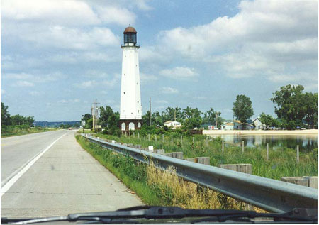
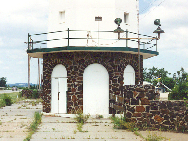
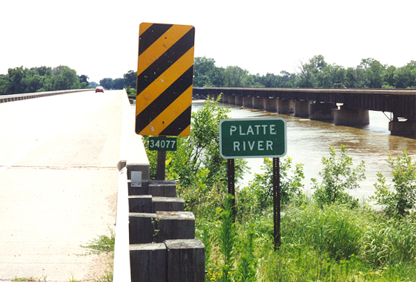
Just west of the lighhouse, Route 6 crosses the Platte River. This is a classic graded stream; shallow, wide, with multiple braided channels in many stretches. Counting the North Platte in the western part of the state, the Platte is about 400 miles long in Nebraska alone. Early wagon trains, the first transcontinental railroad, the Lincoln Highway, and part of Interstate 80 follow(ed) the Platte, for reasons suggested by its name. Route 6, by the way, carves a much more scenic path across the state, because it traverses some scenic non-flat topography. To the right (north) of the highway bridge is a railroad bridge which carried the Chicago, Burlington, and Quincy road between Omaha and Lincoln. (July 1998 photo)