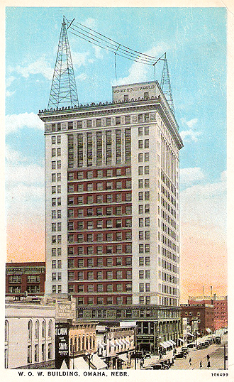
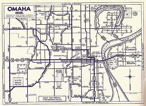
Douglas County, Nebraska


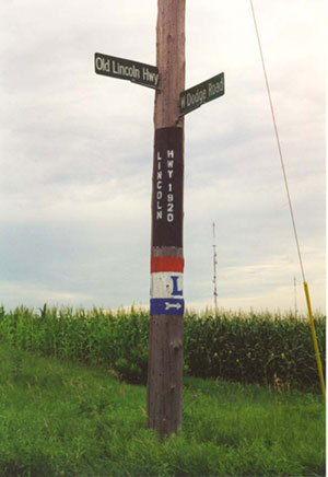
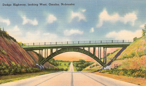
The Lincoln Highway is perhaps the most famous of the transcontinental named highways in the United States. Before the bridge over the Missouri River was built at Blair, north of Omaha, the Lincoln highway (now U. S. 30) took a significant dogleg turn south to cross the river at Omaha. It followed Dodge Street westward out of Omaha for a few miles before turning back north at this location. Today, Route 6 follows Dodge Street and Dodge Road westward out of Omaha. (July 1998 photo)
At this point west of Omaha, the Lincoln Highway (old Route 30) separates from Route 6 and heads north on this brick road.  (July 1998 photo)


Heading west out of Omaha on Route 6, with a long, scenic drive ahead. (1940s postcard) 
In town, on Dodge Street, Route 6 passes the University of Nebraska-Omaha campus, one of numerous universities and colleges across the country visited by Route 6. This campus started in 1911 as the University of Omaha and was operated as a municipal university for several decades. Then in 1968 it became a part of the University of Nebraska and becaue UNO.  (1950s postcard)
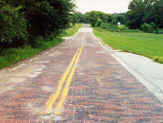
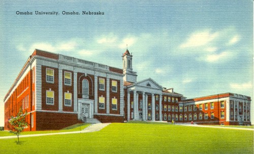
East of the University and just west of a Mutual of Omaha office building on Dodge Street, we found the only Route 6 sign on its entire route to retain a state identifier. Modern U. S. highway signs across the country have shed state names. (July 1998 photo)
The 1912 Woodmen of the World Building was the tallest in Omaha until 1919, then the second tallest until 1963.  After the insurance company built a shiny new modern skyscraper this historic building was razed in 1977, but not before generations of Route 6 travellers got to see it. Atop the building in this 1920s postcard view is the antenna for AM radio station WOW, whose call-letter derivation should be obvious. Like many other old radio stations, the call letters reflect their owners or their places.  Examples on Route 6 include KSL in Salt Lake City, WGN in Chicago (for the "World's Greatest Newspaper," the Tribune), and WTIC in Hartford (for Traveller's Insurance Company). (Curt Teich Postcard Archives, Lake County Illinois Discovery Museum)

Throughout its history, Route 6 has taken Dodge Street through most of Omaha (at times paired with Douglas Street downtown) and Broadway from the Missouri River to downtown Council Bluffs.  This map from the 1946 Rand McNally road atlas shows that straight shot through the urban area.

(Too bad Carter Lake is not on Route 6--it has an interesting story!)


Back to Nebraska Counties Map