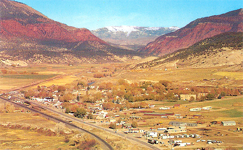
 Eagle County, Colorado

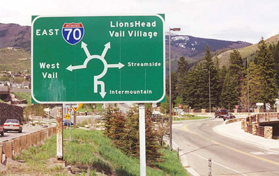
At both ends of transcontinental Route 6 are traffic circles (in Long Beach and in Provincetown). Along 6, older traffic circles can be found in Massachusetts and New York, in addition to a few old small-town "squares" that have been rounded into a more circular form. Here in Vail, traffic circles sort traffic between I-70 and other roads, including segments of old Route 6. (May 2001 photo)
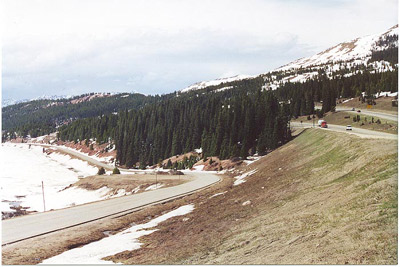
In the 1930s, before the road over
Vail Pass was completed, Route 6 took a major dogleg route south to
Leadville then back north. Then Route 6 became the main road over the pass
until I-70 was completed. Both can be seen in this May 2001 photo on the
west slope of Vail Pass; I-70 on the right and old Route 6 on the left.
The latter is now a bike path.