|
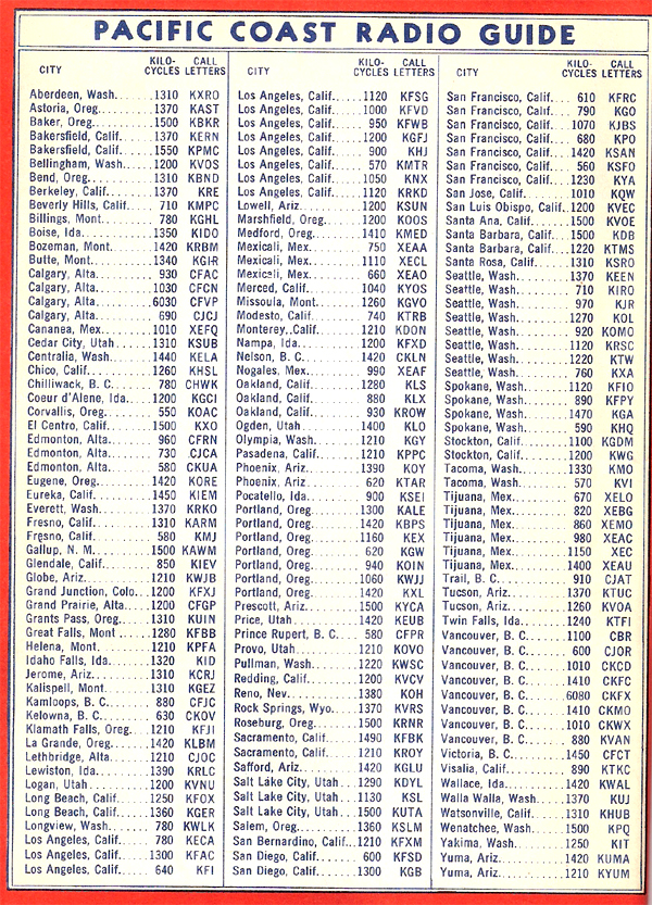
From the top of Montgomery Pass the AM radio recepiton would have been
pretty good in 1940 when this guide was included with a Union Oil Company
map of California and Nevada. But only at night.
After sunset, many of the more powerful stations listed could
have been heard (and can be today) in this part of Nevada.
However, through the Owens Valley of California and the middle of
Nevada, it would have been almost impossible to hear any AM radio stations
during the day. The 1941 edition of White's Radio Log lists NO AM
radio stations along Route 6 through all of Nevada and all of the Owens
Valley. The only station that might have reached the stretch of the
highway near Montgomery Pass was KOH in Reno.
By the way, FM radio did not appear on the scene until well
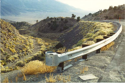
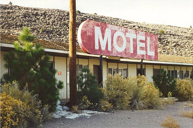
after World War II, |  Mineral County, Nevada