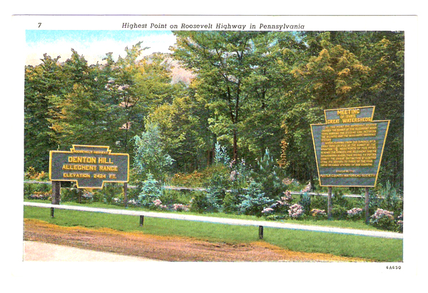
 Potter County, Pennsylvania

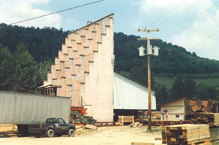
Just west of Roulette on old Route 6
(Main Street) is this former drive-in theatre, now being used by a
sawmill. In 1972 a new version of Route 6 bypassed this location by a
short distance, and in 1987 the theatre closed. (July 1999 photo)
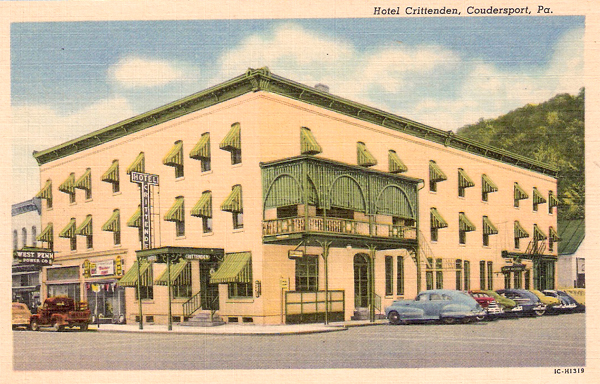
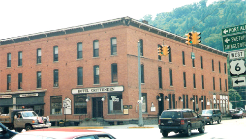
Hotel Crittenden in Coudersport. Above: July 1999 photo. Left: 1940s postcard (Curt Teich Postcard Archives, Lake County Illinois Discovery Museum)
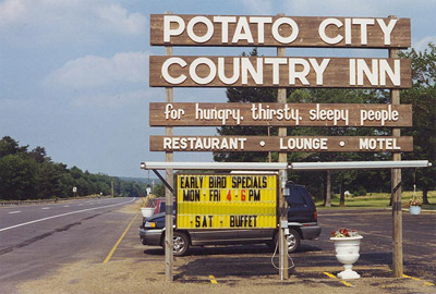
One of the classic stops on Route 6 in
Pennsylvania is Potato City, where most of the needs of travelers can be
satisfied. Potatoes are important in Potter County. The Potato City
Country Inn was first established in 1949 as a retreat for Pennsylvania
potato industry events. Later it became a private inn. (July 1999
photos)
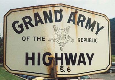
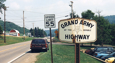
One of the few remaining original GAR
signs was found in Sweden Valley in July 1999.