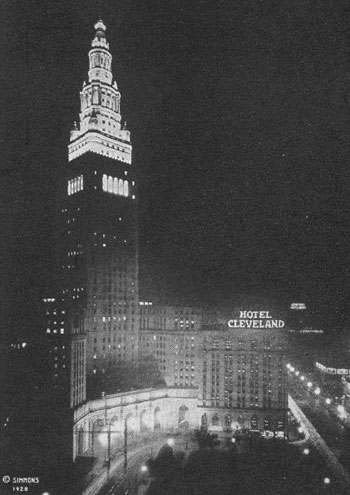
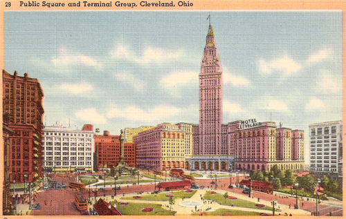
Cuyahoga County, Ohio


Route 6 goes right through downtown Cleveland, past 
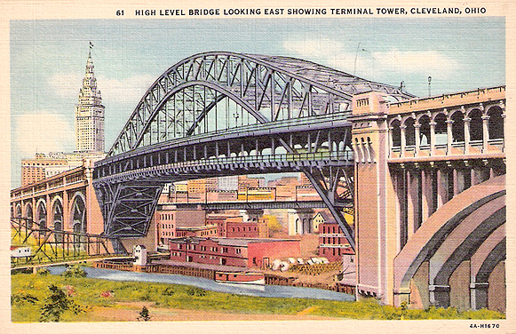
the Public Square, Hotel Cleveland, and Terminal Tower. The Tower was the tallest building in the United States outside of New York City, 708 feet, from its completion in 1928 until 1967. (1930s postcards)


The above 1940s postcard view from Terminal Tower shows two major bridges over the Cuyahoga River that bring traffic into downtown Cleveland from the west.  For decades, Route 6 has crossed the High Level Bridge (above on the left and below) before going through downtown and continuing east through the city on Superior Avenue. This historic Detroit-Superior High Level Bridge, built in 1918, has a 591 foot long center span and two decks.  The lower level carried streetcars until 1954 and is now closed.

The Main Avenue Bridge, on the right in the above image, was built in 1939 with Depression-era Federal funds as part of the Cleveland Memorial Shoreway.  It was the longest bridge in Ohio until 2007.

(Curt Teich Postcard Archives, Lake County Illinois Discovery Muesum)


After taking a stretch of Superior Avenue east of downtown, Route 6 joins U. S. Route 20 for about four miles along Euclid Avenue in East Cleveland. These two long transcontinental highways dance around each other in this part of Ohio, also meeting east of downtown Cleveland and in Fremont. (1960s postcard)


Back to Ohio Counties Map