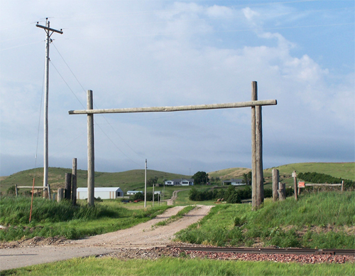
 Hitchcock County, Nebraska

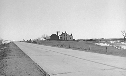
One of the joys of travelling Route 6 is being able to view tranquil rural landscapes up close. This March 1940 photograph was taken along the great highway at an unknown location in Hitchcock County by Arthur Rothstein. It can be found in the American Memory Web archives of the Library of Congress.
Small towns on Route 6 are not without their scenic
pleasures as well.
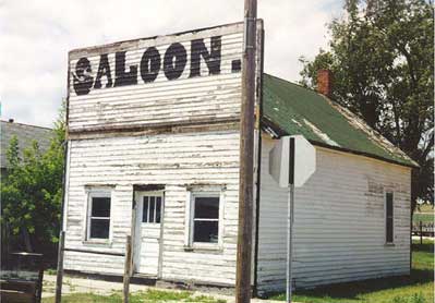
In the absence of development pressures, many old buildings are
not torn down in Great Plains towns. Photo taken in July 1998 in
Palisade on old Route 6, which went right down the main street of
town.
No doubt Palasade was named for the scenic bluffs that flank Frenchman's Creek. Here is a farmstead nestled up against the bluffs to the east of town. (June 2010 photo)
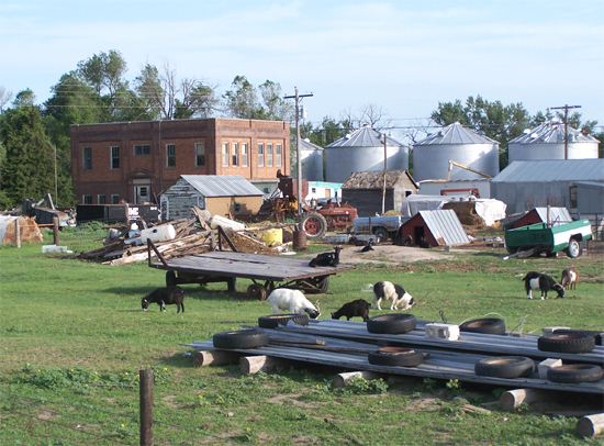
This scene comprises most of the hamlet of Beverly. Old school No. 48 occupies the center of this curious collage. (June 2010 photo)
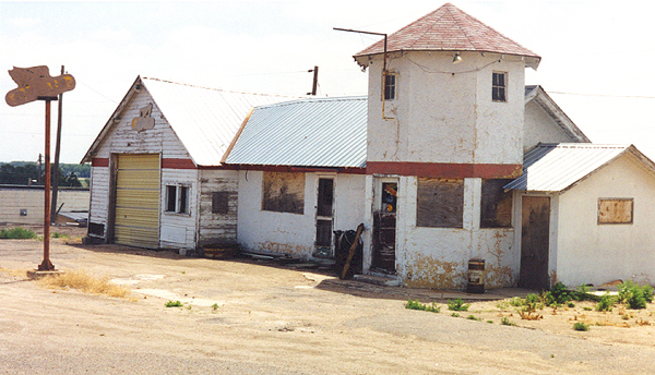
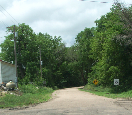
For decades, Route 6
has skirted Culbertson, rather than going through town. Here is an
old roadside service station on the highway north of town.
(July 1998 photo)