 Barnstable County, Massachusetts

1960s Postcard
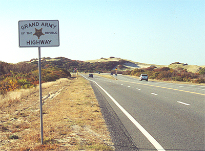
If you are travelling Route 6 from
east to west, a great adventure in bridge crossing and viewing begins
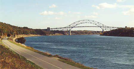
here. The Sagamore Bridge, above, carries Route 6 over the Cape Cod
Canal. This October 2000 view is from Route 6 southwest of the
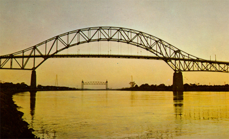
bridge. The two other bridges that cross the canal are pictured
on the above right, the Bourne Bridge in the foreground and the railroad
bridge in the distance. The two nearly-identical highway bridges are
high enough to accomodate ships passing through; the railroad bridge is a
lift bridge. All three bridges were built in the mid-1930s with
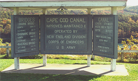
depression-era Federal funds. The sign (right) is located along Route 6
between the Sagamore and Bourne bridges.
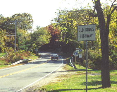
Old Route 6 followed the Kings
Highway over the length of Cape Cod. Today it is numbered 6A, the main
Route 6 being a wider, faster (and some would say much less interesting)
road. (October 2000 photo)
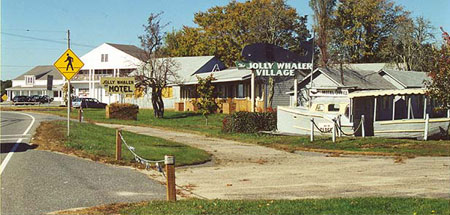
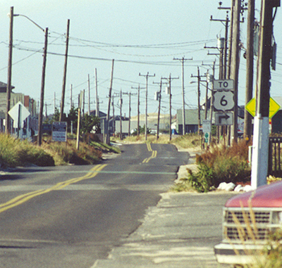
Taking
old Route 6 (now 6A), the Kings
Highway, presents the leasurely traveller with a myriad of scenes, including
quaint villages and old roadside serivces. Among numerous interesting
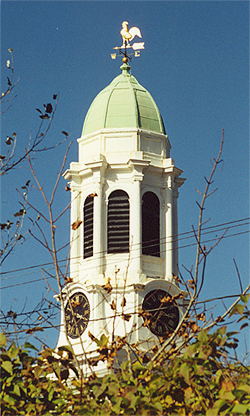
old motels is the Jolly Whaler east of Brewster (above). To the
right is the steeple of the Unitarian Church in Barnstable. (October 2000
photos)
Shown here are two alternative ways of approaching Provincetown, located at the tip of the Cape. On the left is Route 6A, the old road, which meanders and undulates through a variety of settlements. Above is the new Route 6, a superhighway that will get you there more quickly, with less interference from the human-built landscapes. The new 6, however, is not without its attractions; some spectacular sand dunes are featured in this scene. (October 2000 photos)
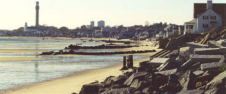
As Old Route 6 approaches
Provincetown along the coast, travelers are afforded a great view of the
Pilgrim Memorial Monument, 252 feet tall and located on Town Hill.
(October 2000 photo).
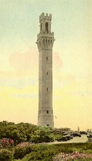
The monument is 100 years old, having
been completed in 1910 to commemorate the landing of Pilgrims
here in 1620. (1920s postcard, right)