 Inyo County, California

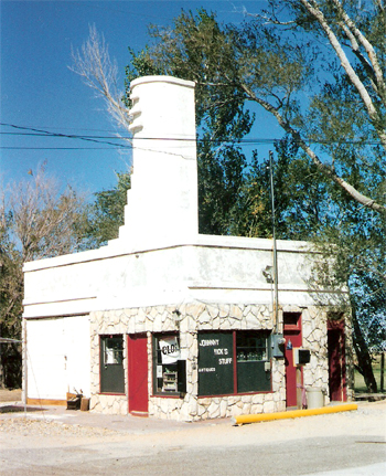
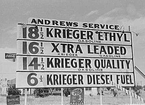
A stylish service station in Olancha, October 1997 photo.
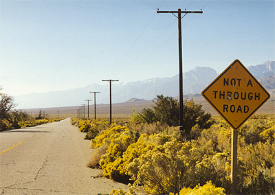
Route 6 bisects the Owens Valley North of Los Angeles and east of the Sierra. The Valley is perhaps best know as the path of the Los Angeles Aqueduct which was completed in 1913, taking water from the valley to quench the thirst of a million or so Angelinos. It was a controversial project not only because it destroyed agriculture in the valley by drawing out water, but also because of the secretive way that Los Angeles acquired property in the valley for the project The aqueduct is visible from the highway in several locations.
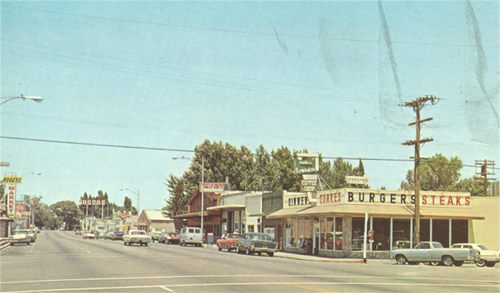
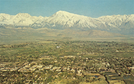
The postcard on the left shows Lone Pine in the 1960s.
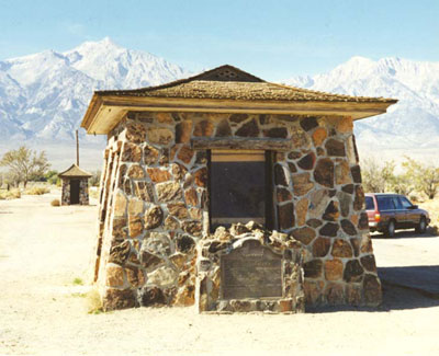
A number of landscape elements along
Route 6 reflect wartime activities. Located in the Owens Valley was
Manzanar, one of ten camps in which Japanese-Americans were interned
during World War II. From 1942 to 1945, about 10,000 Japanese-Americans
did their best to make a home in this very arid environment, after having
been uprooted and separated from their possessions and property up and
down the West coast. (October 1997 photo)
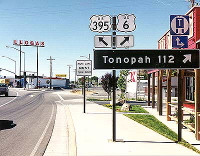
The current western beginning of
Route 6 in Bishop. Next stop: Nevada (July 1998 photo)
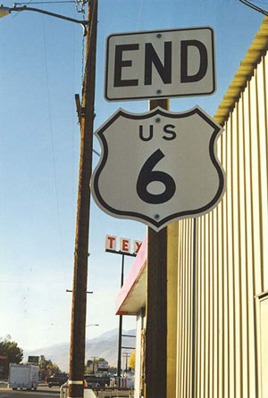
This sign welcomes the westward traveler to Bishop,
where U. S. 6 now terminates at the intersection with US Highway 395. This,
however, is not really the end because Historic Route 6 continues on
to Long Beach. (October 1997 photo)
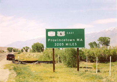
This sign located just north of
Bishop, which we first saw in May 2003, reminds the traveler of Route 6's
transcontinental status. Note the Grand Army of the Republic sign.
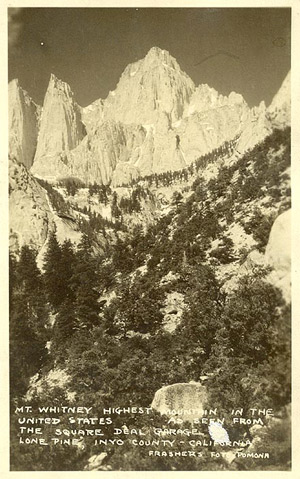
Route 6 through the Owens Valley
affords some great views of the eastern side of the Sierra. Included are
numerous interesting vistas of Mount Whitney (14,494 feet), the tallest of
its peaks. This is the view of Whitney from The Square Deal garage in Lone
Pine, which no doubt served many Route 6 travelers. This undated postcard
is probably from the 1940s.